
News from September 2026:
Geological mapping and sampling to understand the geology of the Arédien territory
Progress of work • Published on September 14, 2026
As part of its exploratory work, the Compagnie des Mines Arédiennes realise une geological mapping campaign and rock and soil sampling over the 330 km2 exploration permits (PER) granted by the State, in order to improve knowledge of regional geology.
The goal is to achieve a inventory of soils and different rocks outcropping at the surface of the ground and to search for all the substances for which the PERs have been awarded: gold, silver, antimony, tungsten, tin, molybdenum, lithium, niobium, tantalum, copper, zinc, lead, beryllium, cobalt, germanium, indium, platinum, rare earths and related substances.
A first geological mapping and sampling program already took place in October 2023 and then a second supplementary program was scheduled for October 2024. The 2026 campaign extends the search over the 330 km2 currently granted, including the 298 km2 of the PER Douillac extended since February 2026.
CMA entrusted this campaign to Gexplore, a geological, geophysical and well logging services company.
How is the campaign unfolding on the ground?
La mapping campaign is carried out by field geologists who work on foot in the study areasPreviously, theaccess authorization Information is required from the owners of the plots identified by geologists as having geological interest.
La geological mapping This involves creating a map of the nature and structure of the soils and outcropping rocks. These maps allow us to formulate hypotheses about the nature of the rocks constituting the subsoil and to better understand the chronological relationships between the rocks.
The sampling geological sampling consists of collecting possibly mineralized rocks with a geologist's hammer or soil with a manual auger.
The samples taken are then sent to the laboratory to be analyzed with more precise quantitative methods, allowing the geologist to know the chemical composition of the rock or soil.
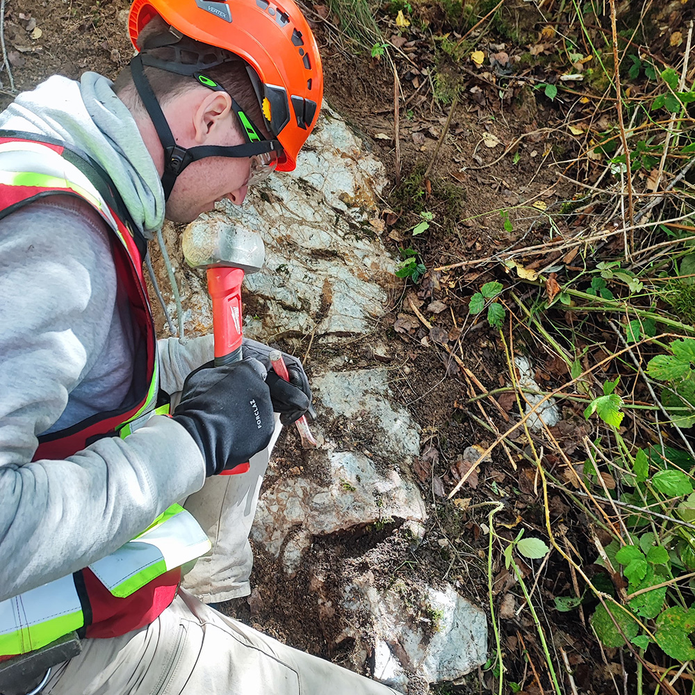
Hammer sampling on an outcrop
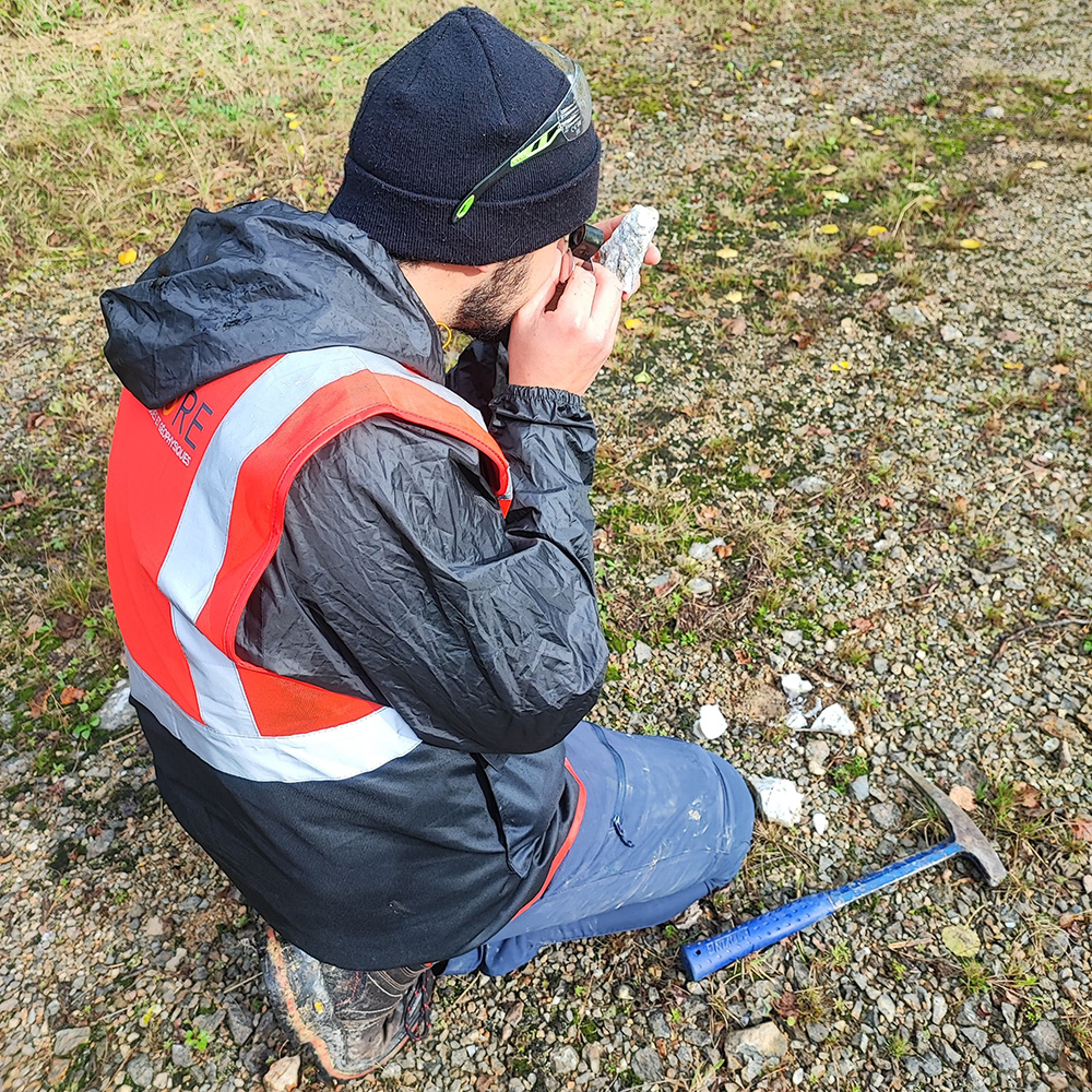
Observation of a sample under a magnifying glass
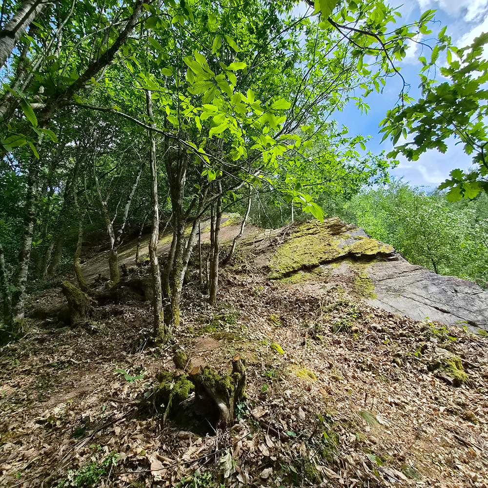
Outcrop, a subject of study for geologists
What next?
The results and interpretations of the analyses are expected by the end of 2026. They will enrich the geological knowledge of the subsoil of Arediana, broaden the scope of research and identify new areas of geological interest.
For the definition of possible future exploration programs, each research area will be assessed according to several criteria including its geological interest, its environmental sensitivity and its societal sensitivity.